

Belgium in maps: from the 1777 Ferraris Atlas to today

What did your street, village or region look like almost 250 years ago? Where were the forests, fields and waterways? Which roads already existed, and how much has the landscape changed since then? With The Great Atlas of Ferraris and the new Topographical Atlas of Belgium, you can explore the Belgian territory as it looked in the past and as we know it today.
Published by Lannoo and Éditions Racine in collaboration with the Royal Library of Belgium (KBR) and the National Geographic Institute (NGI), these two new atlases bring a remarkable piece of cartographic heritage within reach once again.
The Ferraris Map: an unprecedented view of the Southern Netherlands
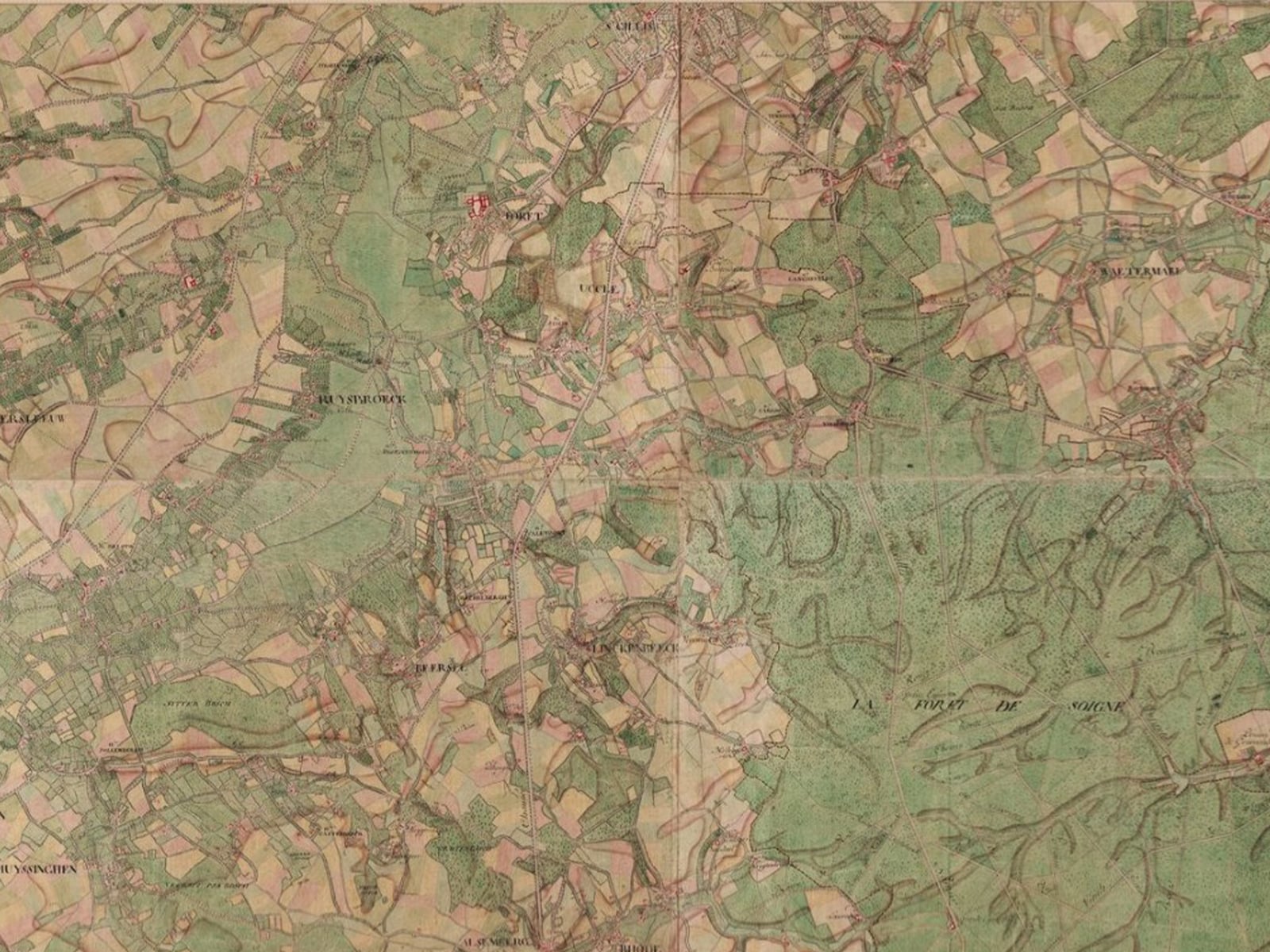
Between 1771 and 1778, the first large-scale topographical map of the Southern Netherlands was produced under the direction of Count Joseph-Jean François de Ferraris. It was commissioned by Charles of Lorraine, the governor-general at the time. Belgium did not yet exist: the maps depict the Austrian Netherlands and the Prince-Bishopric of Liège, an area that largely corresponds to present-day Belgium.
The original Ferraris Cabinet Map was drawn and coloured entirely by hand. It consists of 275 map sheets and was primarily intended for military and administrative use. The maps were accompanied by almost 2,000 pages of historical, political and economic notes intended to support military operations.
Today, however, the atlas is much more than a military document. Through colours, symbols and highly precise markings, it depicts roads, settlements, farmland, forests, industry, waterways, borders and relief, among other features. The Ferraris Map therefore offers an exceptional snapshot of the landscape before the French and Industrial Revolutions radically transformed the territory.
Those who explore the maps today will discover more than vanished landscapes. Old village centres, historic roads and place names are often still recognisable. This is precisely what makes the atlas so fascinating: it reveals how much has changed, but also how much of the past remains present in our surroundings.
Why is a new edition being published now?
The year 2026 marks a special moment in Belgian cartography. It is the 300th anniversary of Count de Ferraris’s birth, while the National Geographic Institute celebrates its 50th anniversary. This double anniversary provides the ideal opportunity to highlight both the oldest and the most up-to-date large-scale maps of the Belgian territory.
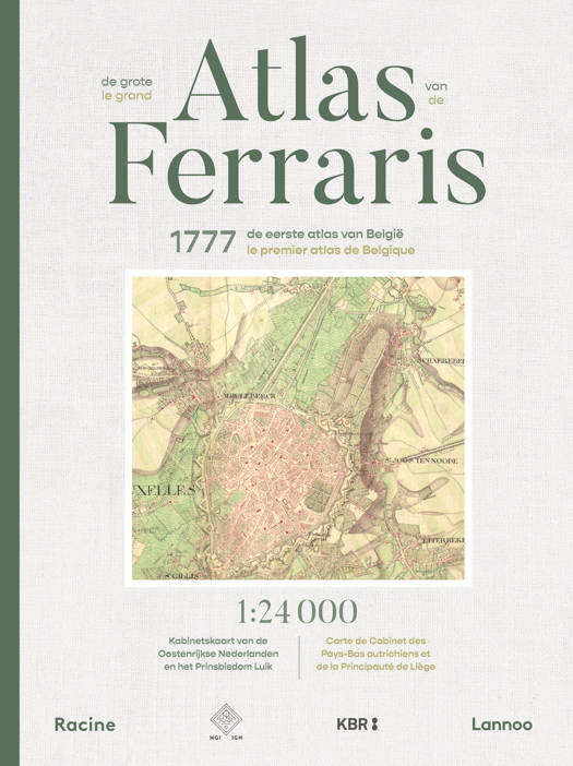
For this new edition of The Great Atlas of Ferraris, the original map sheets from the KBR collection were rescanned. Particular attention was paid to capturing a high level of detail and faithfully reproducing the original colours. The maps were then carefully adapted to the book format while preserving their exceptional wealth of detail.
The new edition is ideally suited for comparison with the Topographical Atlas of Belgium. By placing the two atlases side by side, you can compare the landscape of 1777 with that of today.
The Topographical Atlas of Belgium: today’s country in detail
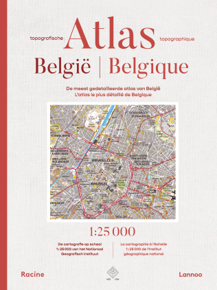
Alongside the historic Ferraris Atlas, the Topographical Atlas of Belgium is also being published, developed in close collaboration with the NGI. For the first time, the entire Belgian territory has been brought together in a single printed atlas at a scale of 1:25,000.
The atlas contains 236 map sheets, each covering approximately 160 km². They show roads and paths, railway lines, buildings, waterways, vegetation and microrelief, among other features. The maps combine data from the first edition of the NGI’s new topographical map series, produced between 2016 and 2022, with maps from the second edition, which has been updated since 2024.
This publication makes the NGI’s current, exceptionally detailed cartography accessible in one comprehensive reference work. This makes the atlas appealing to walkers and cyclists, as well as to enthusiasts of geography, local heritage and landscape development.
Two atlases, one story
Individually, both atlases are impressive reference works. Together, they tell an even greater story. While the Ferraris Atlas shows how the landscape was organised at the end of the eighteenth century, the Topographical Atlas reveals how cities, villages, infrastructure and nature have developed over almost 250 years.
Compare your home town in both books and history becomes tangible. A country lane became a paved road, an open field was transformed into a residential neighbourhood, or the edge of an ancient forest remains in exactly the same location centuries later. These atlases are therefore not only books to consult, but also books in which you can continue to make new discoveries.
Discover Belgium, past and present
The Great Atlas of Ferraris and the Topographical Atlas of Belgium are now available in our shop and online. For a limited time, they are available at the introductory price of €99 instead of €119 per atlas.
Choose the Belgium of 1777, discover the country as it is today, or place both atlases side by side and see for yourself how your surroundings have changed over the centuries.